
REMAS - Visor Cartográfico
Gestión del riesgo de emisiones de gases de efecto invernadero en incendios forestales
Greenhouse gas emission risk management in forest fires
REMAS has developed a transnational emission risk model that can serve as a tool to support regional Administrations to determine greenhouse gas emission risk of their forest ecosystems on forest fire events as well as to prioritise their actions to prevent these emissions.
This model has been designed for determining potential emission risks from large forest fires over forest ecosystems, concretely over carbon stocks from the organic fraction of soils and over vegetation of key forest ecosystems in SUDOE space.
This model has been build up from the characterization, geospatial analisys and data treatment of emission risk variables obtained from each of the REMAS study areas. These variables have been determined and selected according to the greenhouse gas emission risk methodology developed in REMAS project framework (2019-2022).
The Emission risk cartography aims to provide information on variables determining emission risk and support to decision makers on wildfire management and prevention plans and strategies by providing a qualitative quantification of the most vulnerable areas with highest emission risk at a regional level.
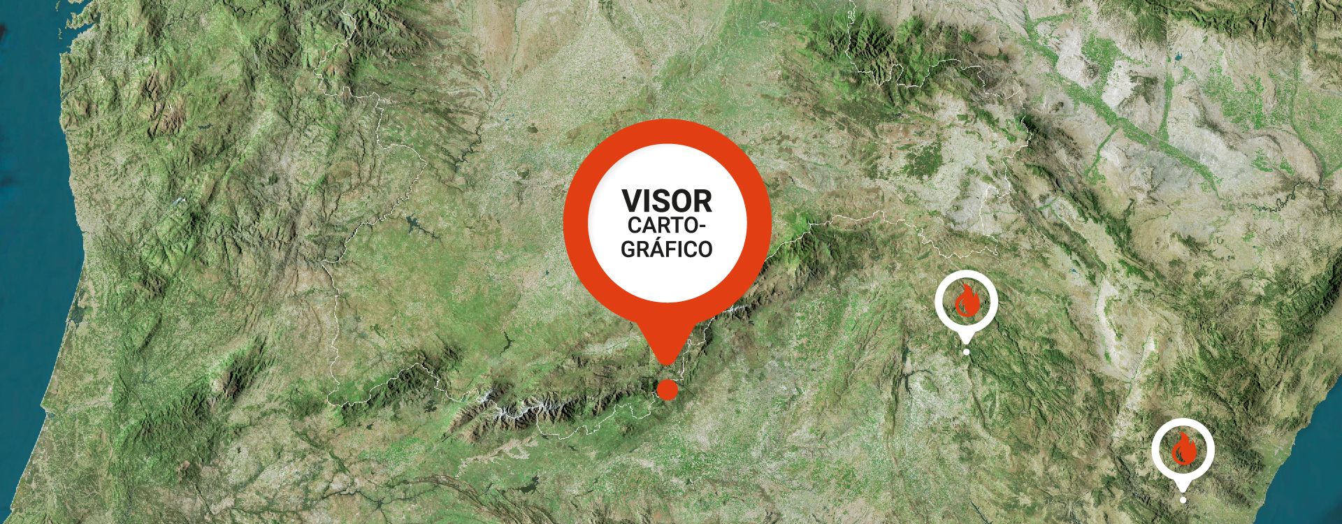
All cartography is free access, homogenized following INSPIRE Directive and available to all public administrations and general public. Moreover, a Emission Risk Cartography Visor will be available soon in the website.
Áreas de estudio/ Study areas
Chelva Forest District
(Valencian region, Spain)
The forest area of the Valencia Region occupies almost 60% of the territory, although its area is increasing at a rate of approx. 3,300 ha/year (NFI2-NFI3). The wooded ecosystem of Pinus halepensis is the one studied in REMAS. It represents 40% of the region’s territory (514,065 ha). In terms of forest ownership, 55% of the forest land is privately owned, 39% is public and 6% is unknown. Of the public ownership, 76% belongs to municipalities.
In the Valencia Region, the risk of greenhouse gas emissions is studied in the Chelva Forest Demarcation (except Rincón de Ademúz) and its surroundings affected by the Andilla fire in 2012, where 20,945 hectares burned. This ecosystem is represented by Pinus halepensis Mill. forests
Parque Natural del Alto Tajo
(Guadalajara, Spain)
The forest area in the Guadalajara region covers more than 62% of the territory (more than 764,000 ha) and most of this forest area is wooded (68%). Pinus sylvestris L. pine forests occupy an area of 57,107 ha. Seventy per cent of the area covered by this species is public and 30% is private. Of the public property, 80% belongs to the municipalities. In the study area (Alto Tajo Nature Reserve). Pinus sylvestris forests cover more than 25,000 ha (19% of the protected area).
The study area of the project in Castilla-La Mancha is located in the Alto Tajo Natural Park. The ecosystem representative of this study area are the ecosystems dominated by Pinus sylvestris L. tree specie.
Specifically, the pilot area of the REMAS project is located in the forest “Dehesa Espineda” (MUP 133), owned by the municipality of Checa and managed by the Regional Government of Castilla-La Mancha. In 2012 a fire affected 1,182 ha in the area of Chequilla, Checa and Alcoroches.
Landes de Gascogne
(Nouvelle-Aquitaine, France)
New-Aquitaine is home to Europe’s largest artificial forest, established since the end of the 19th century to stabilise the coastal dunes and reclaim the marshes that later occupied the territory. This region now covers 1 million hectares, only 10% of which is managed by the French state or local authorities. This forest is a plantation dominated by a local species, the maritime pine, mainly used for timber, but increasingly for paper and energy production. The study area of the REMAS project on the French side represents the northern Gironde part of the Landes de Gascogne massif. The representative ecosystem of this area is the one dominated by Pinus pinaster Ait. Its surface area is 558,868 ha and includes the areas burnt between 2000 and 2019. This study area includes 100 communes, all of which belong to the Landes de Gascogne forest region.
Serra do Caldeirâo
(Algarve, Portugal)
Serra de Caldeirão generally corresponds to a geological formation of schist-grauvaca, with steep slopes and covered mainly by cork oak ecosystems. The landscape is characterised by vast expanses of cork oak forests and undergrowth generally. Other land cover types include thickets dominated by Cistus ladanifer, as well as some pastures or crops. There are also scattered stands of P. pinaster, P. pinea and Eucalyptus spp. Land ownership is fragmented and private. Cork harvesting is the main economic activity of the local communities. The study area in Portugal is the subunit of PROF Algarve (Regional Forest Management Plan), called Serra do Caldeirão, with about 80,730 hectares, dominated by Quercus suber L. ecosystems. Three municipalities are partially located in this area: Loulé, São Brás de Alportel and Tavira.